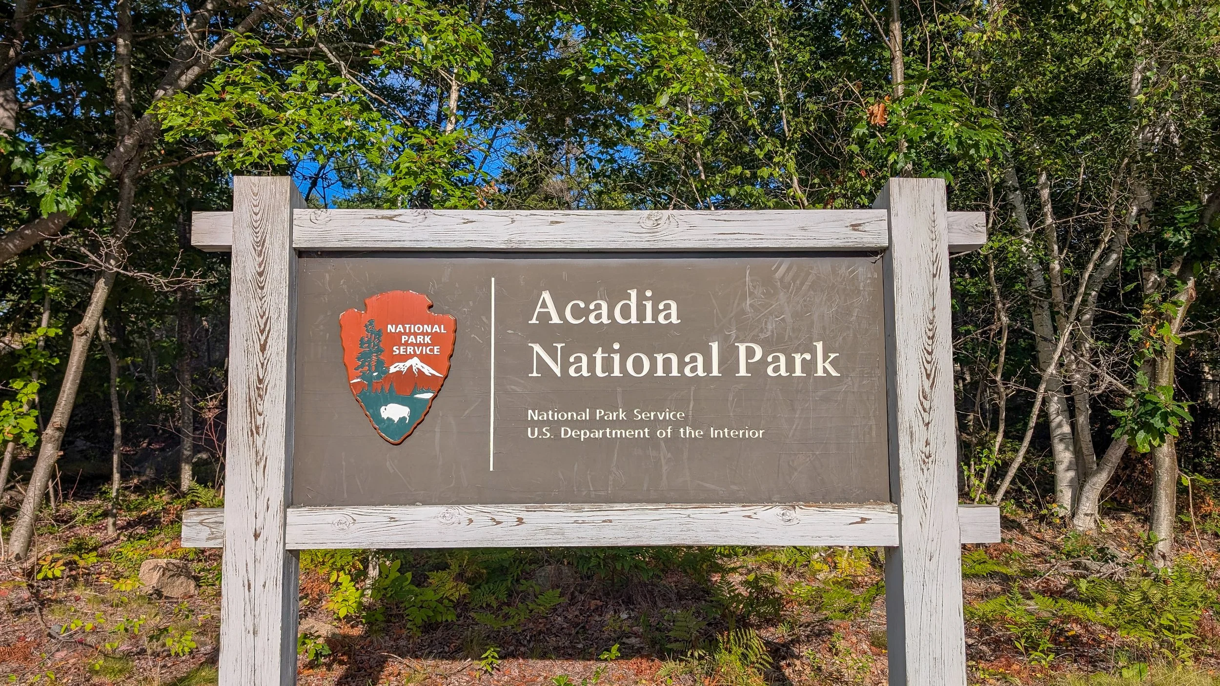
The Ultimate Day Hike in Acadia National Park
Have only one day to spend in Acadia National Park and want to do some serious hiking? Or, do you want to add a real outdoor challenge to a longer visit? You’ve come to the right place - this is the Ultimate Day Hike in Acadia National Park.
This 19.05 / 30.66 kilometer route strings together some of the park’s best offerings, including sunrise at Cadillac Mountain, The Bubbles, Jordan Pond, and Canon Brook, to name a few.
Off the bat, if you’re wondering where the Beehive, Precipice, or Jordan Cliffs Trails are: this route is designed to have minimal exposure to cliff ledges, ladders, iron rungs, and peregrine nesting locations so it can be enjoyed safely spring, summer, and fall.
The Route Summary
As mentioned, the route is about 19.05 miles / 30.66 kilometers long. It has a total elevation gain of 4364 feet / 1330 meters, and will take anywhere between 10 and12 hours to complete, excluding stops.
While I’ll provide a more detailed overview below, here’s a quick summary of the route: It begins and ends at Sieur de Monts; from the parking lot, you’ll climb Dorr and Cadillac Mountains before descending along the Cadillac Mountain North Ridge Trail. After some roadwalking, you’ll pass alongside Eagle Lake before climbing up Conners Nubble and over the North and South Bubbles. After downclimbing, you’ll walk along the east edge of Jordan Pond, grab a snack at the Jordan Pond House, then climb Pemetic Mountain before descending besides Bubble Pond. Ascending a ridge south of Cadillac Mountain, you’ll walk back to Sieur de Monts via the Canon Brook Trail and alongside The Tarn.
While you can begin the route after sunrise, it is designed specifically to allow you to see sunrise at Cadillac Mountain while being able to admire dawn in relative solace as you climb upwards.
In addition to allowing you to see sunrise at Cadillac Mountain without a difficult-to-get permit, there are other advantages to this route:
As mentioned, it avoids well-known ladder and iron rung trails along peregrine nesting cliffs, such as Beehive, Precipice, and Jordan Cliff, as well as steep cliff ledges, meaning it can be enjoyed by anyone capable of hiking long distances, in most weather conditions, and throughout most of the visiting season,
It intersperses uphill and downhill sections with less strenuous flat sections for recovery, and,
It passes along four toilet facilities, two water collection points, and two shops selling snacks and drinks.
The Route Map
(To use this map most effectively, I recommend clicking the rectangle outline at the top right to open it in a new tab, or within the Google Maps app on a mobile device.)
As you can see, I’ve broken the route into four sections, more or less consisting of similar difficulty. I’ve included some points of interest - such as the locations of facilities and water refill stations along the route - as well as warnings of things to be aware of. Lastly, I’ve tagged the locations where I took the photos included in the detailed route description below.
If you would like a GPX file of this route for your favorite GPS application, don’t worry - one is included at the end of this page.
Detailed Route Description
Climb Up Cadillac Mountain via Emery Path, Schiff Path, and the Cadillac-Dorr Connector - 2.2 Miles / 3.5 Kilometers - 2.2 Miles / 3.5 Kilometers in Total
As I’ve previously mentioned, this route is best paired with a nighttime hike to Cadillac Mountain to witness America’s first light. As such, be aware that for most of the peak visiting season, this will necessitate setting off extremely early in the morning.
I deliberately choose the Sieur de Monts parking lot as the starting point for this trip for two reasons. First, you won’t need to stress about finding a parking spot as it is a large lot by Acadia National Park standards. And, second, the journey up the Emery and Schiff Paths is very achievable and safe at night. I suppose it is also a bonus that it has a toilet facility and a water refilling station for both the beginning and end of your journey.
As far as the timing of your departure goes: I would plan to depart the Sieur de Monts parking lot no later than 2 hours prior to sunrise to get a full experience at Cadillac Mountain. If you wish to take your time or are traveling in a group, 2.5 hours is probably the better bet.
Be sure to leave your National Park pass on the dashboard of your car! If you don’t yet have a park pass, you can purchase a day pass from a vending machine in the lot.
I recommend using a headlamp vice a handheld flashlight for your trek up the Emery Path. While the route is not technical, it is rather steep with large stone steps and it may prove difficult for you to hold a flashlight and climb upwards.
At around the 30-minute mark, you’ll reach your first junction, with Kurt Diederichs Climb - be sure to stay to the right onto the Schiff Path. And, congratulations: you’re already 1/3 of the way up Cadillac Mountain.
#1 - Climbing the Schiff Path steps by headlamp.
Proceeding onwards, you’ll do some walking along a relatively narrow but gentle path on a ledge above The Tarn which is occasionally interrupted by short segments of stone steps. Arriving at your next junction, you’ll stay to the right; otherwise, you’ll soon find yourself descending The Ladders…. You’re almost halfway up at this point.
The trail now steadily climbs Dorr Mountain on long stretches of granite. Be sure to look out for cairns, as finding the blue trail markers will be difficult at night.
Near the summit of Dorr Mountain, you’ll join the Cadillac-Door Connector for your final push to the summit. This is roughly the 2/3rds mark.
#2 - Dawn peeks over the horizon near the summit of Cadillac Mountain.
Just below the summit, you’ll find a nice open area well-shielded from the wind from which you can watch the sunrise in peace-and-quiet.; otherwise, continue pressing upwards and confuse the summit sunrise permit-holders as you mysteriously appear from out of nowhere.
Hike to Conners Nubble via the Cadillac Mountain North Ridge Trail, Eagle Lake Road, the Eagle Lake Carriage Road, and the Conners Nubble Trail - 6.1 Miles / 9.8 Kilometers - 8.3 Miles / 13.3 Kilometers in Total
#3 - The sun peeks out from the clouds just after sunrise.
I recommend taking a much-needed break at the summit; while not technically difficult, the climb up will take a lot of energy out of you, particularly since you’ll be setting off so early in the morning.
My recommendation: let the car crowd thin out, explore the summit loop a bit, and head over to the Cadillac Mountain Eco-Store. Here, you can refill your water bottles, use a proper toilet, and buy a coffee or hot chocolate.
#4 - For such a remote shop, the Eco-Store is really well stocked.
Xxxx.
#5 - Xxxx.
Xxxx.
#6 - Xxxx.
Xxxx.
#7 - Xxxx.
Xxxx.
#8 - Xxxx.
Xxxx.
#9 - Xxxx.
Xxxx.
#10 - Xxxx.
Xxxx.
#11 - Xxxx.
Xxxx.
#12 - Xxxx.
Xxxx.
#13 - Xxxx.
Xxxx.
#14 - Xxxx.
Xxxx.
#15 - Xxxx.
Xxxx.
#16 - Xxxx.
Xxxx.
#17 - Xxxx.
Xxxx.
#18 - Xxxx.
Xxxx.
#19 - Xxxx.
Xxxx.
#20 - Xxxx.
Xxxx.
#21 - Xxxx.
Xxxx.
We don't run ads - your follow on Instagram
lets us know how we're doing!
Thanks for your support!
Xxxx.